


Residents have been left enraged after they were forced to fork out £16million for a site dubbed a “shiny white elephant”.
Locals who would cross the Kepax Bridge – over the Severn – lambasted the very existence of the crossing encircled by a muddy quagmire.
Cyclists have also hit out at the “boggy” bridge which requires “wellies and waders” – many of whom decided to coast along the A443 instead.
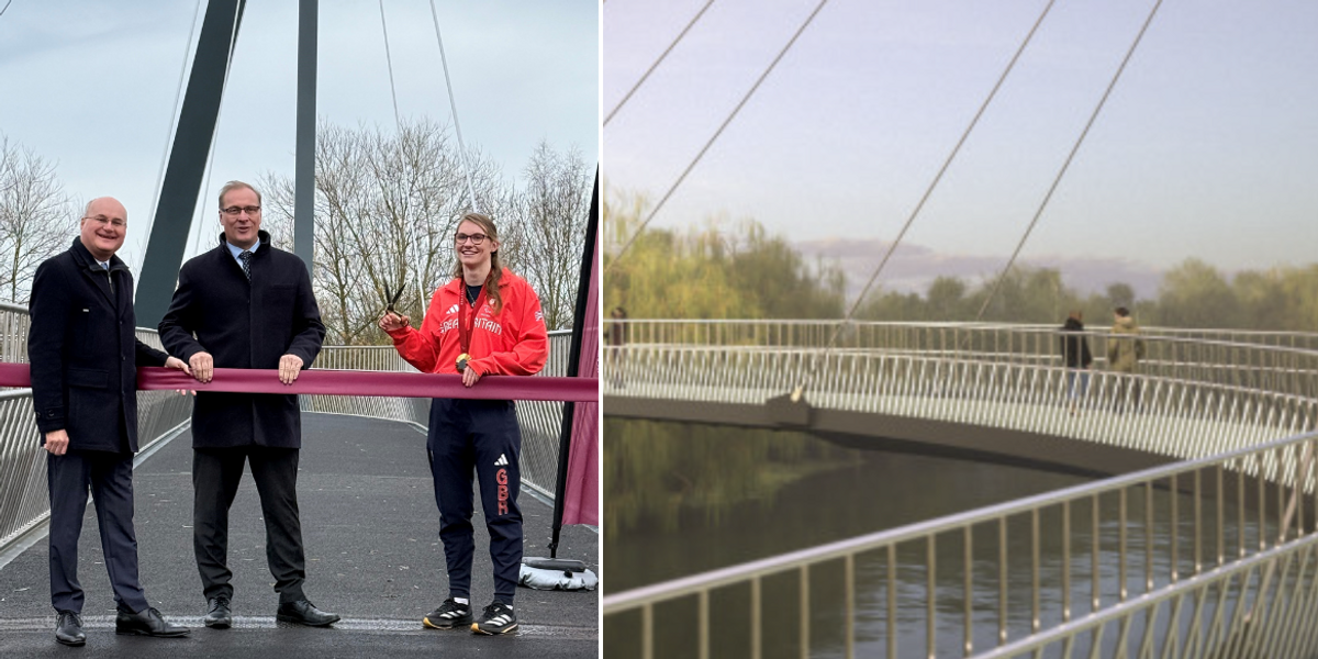
Construction works along the bridge finished on December 5 as officials were keenly advertising the new, improved, easy access for pedestrians and bikers alike.
The project was even called a ‘war zone’
Worcester County Council
County councillors had initially hoped that the bridge would ease the amount of road traffic, as well as provide another route for students to cycle to campus.
But now, residents have dubbed the site a “dangerous mess”, hitting out at the Conservative council for throwing funds at the bridge’s construction over flood defences for the area.
Grandfather and resident Tony Westcott, 77, said: “We think it’s a bridge to nowhere, it doesn’t serve any purpose for us.”
He complained that the site was incomplete and had relayed rumours that the councillors were out of money for the bridge.
LATEST DEVELOPMENTS:
“All of this money could have been used to help us all on the flood plain, but they built this instead. It’s baffling,” he lamented.
He admitted that the bridge appears “impressive visually” but up close “it’s just a shiny white elephant”.
He also said that he has crossed it twice but noted that there was no reason to cross the bridge, deeming the project “pointless because of the deep mud”.
Meanwhile, another local said that the site imitates a “war zone” and is “covered in the residue from the winter floods”.
Construction was completed in December 2024
Worcester County Council
A spokesman said: “Kepax Bridge has been a huge success since it opened on December 5, with many thousands of people using the walkway between the east and west sides of Worcester.
“A new path has been installed on the west side of the river, linking the bridge to Hallow Road and beyond.
“The path along the river towards Ferry Bank is prone to flooding, particularly in the autumn and winter, and typically dries out in the spring.
“Although the path is used by some walkers, it is not a defined public right of way, so is not maintainable by our Public Rights of Way team.
“Signage is in place to advise people using the path.”


