Britain’s mildest Christmas for eight years is about to give way to icy winds and snow driven by a North-Atlantic storm.
A ‘slow drop’ in temperatures through 2024’s final days will gather pace ahead of the New Year as bitterly cold air spills in from the Arctic.
Scotland and northern England are first in line for winter flurries before winter’s frosty caress sweeps the country.
A cyclonic low-pressure system spinning between Britain and Greenland threatens a ‘problematic’ end to the year.
Low pressure spins in the North Atlantic
Netweather
Jim Dale, meteorologist for British Weather Services, said: “New Year’s Eve could be problematic, particularly in the north where there is the greatest risk of snow.
“But this could move further south as a cold front from low pressure to the north moves across the country.
“After the very mild Christmas, there will be a change to the weather around New Year.”
Cold weather will arrive after the mildest Christmas since 2016 which saw temperatures hit 14.2C in Scotland.
A region of tropical high pressure swept warm air across western and northern regions, oddly leaving the south and east cooler.
LATEST DEVELOPMENTS:
The so-called Azores High will gradually weaken through the rest of the week as low pressure nudges in from the north.
The spinning cyclone to the south of Greenland will pull a plume of colder air over the UK as temperatures fall.
The rest of Christmas week, however, will keep the milder theme as Britain catches the edge of high pressure over the Continent.
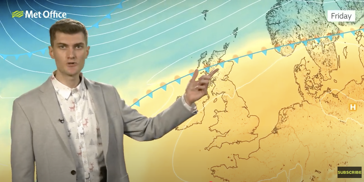
Met Office meteorologist Jonathan Vautrey said: “On Friday, we hold on to very similar conditions with high pressure still in charge across Continental Europe and across southern areas of the UK.
“The cold front in the north will begin to weaken slightly, so the rain will turn lighter and patchier.
“Although we are holding on to those milder conditions, the lack of sunshine does mean that we are going to see a slow drop in temperatures through the next few days, and by the time we reach Friday, we will be a little closer to average for the time of year.
“For Saturday, there will be some rain across southern districts, but behind it will introduce some sunnier spells to the northwest which will then hopefully reach the southeast as we head towards Sunday.”
Low to the north pulls in the cold
WX charts
Cold weather will arrive around a week late after hopes of a White Christmas were dashed for another year.
Southerly warmth held thermometers in double figures across the nation on Christmas Day, just missing the 1920 record of 15.6C.
Temperatures peaked at 14.2C in Dyce, Scotland, with highs recorded by the Met Office of 13.8C in Durham, 12.6C in Killowen, Northern Ireland, and 13.9C in Usk, Wales.
Vautrey said: “We have missed the wintry element this year, and it’s been very mild instead with temperatures climbing above 14C in north-eastern Scotland, and it has been the mildest Christmas Day since 2016.”
